CENTRAL OTAGO
ADVENTURE
2 DAY TOUR
Private 4WD expedition through Clyde, St Bathans, Danseys Pass and Naseby.
- Private. Your group only.
- Max four per vehicle.
- All accommodation, meals included.
- Del has 35+ years 4WD guiding experience.
- Gold towns, haunted pub, empty ranges.
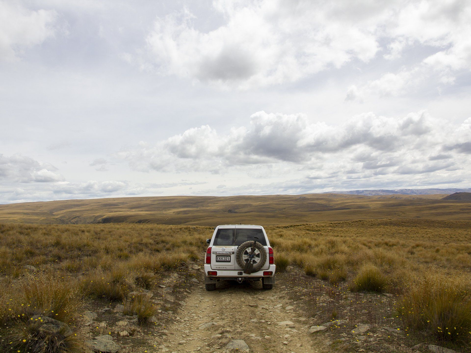
- 4WD tracks — not just the highway.
- Night at Naseby, All meals included.
Day 1 -
Clyde’s stone street. St Bathans, Blue Lake, and the Vulcan — the pub they say Rosie still walks. Night in Naseby.
Day 2 -
Danseys Pass & the 1862 coach inn. Then Oteake’s tussock & the Hawkduns, or Poolburn & the Old Dunstan Road. Time to shoot. No rush home.
Private vehicle. Max four guests.
Built for photography, scenery and the towns that never quite left the 1860s.
PRIVATE ADVENTURE
4 WHEEL DRIVE TOUR

2-DAY CENTRAL OTAGO
____________
NZ$8450 per vehicle
Private - up to 4 guests
Overnight Naseby
All meals included
Depart Queenstown ~8am
Return late Day 2
Group / extra vehicle POA
P R I V A T E M U L T I D A Y E P I C A D V E N T U R E S
CENTRAL OTAGO
The goldfields. The high country. Nobody else in the vehicle.
CENTRAL OTAGO ADVENTURE
Private 4WD expedition through Clyde, St Bathans, Danseys Pass and Naseby.
- Private. Your group only. Max four per vehicle.
- All accommodation, meals included.
- Del has 35+ years 4WD guiding experience.
- Gold towns, haunted pub, empty ranges.
- 4WD tracks — not just the highway.
- Night at Naseby, All meals included.
CENTRAL OTAGO ADVENTURE
Private 4WD expedition through Clyde, St Bathans, Danseys Pass and Naseby.
- Private. Your group only. Max four per vehicle.
- All accommodation, meals included.
- Del has 35+ years 4WD guiding experience.
- Gold towns, haunted pub, empty ranges.
- 4WD tracks — not just the highway.
- Night at Naseby, All meals included.
Day 1 -
Clyde’s stone street. St Bathans, Blue Lake, and the Vulcan — the pub they say Rosie still walks. Night in Naseby.
Day 2 -
Danseys Pass & the 1862 coach inn. Then Oteake’s tussock & the Hawkduns, or Poolburn & the Old Dunstan Road. Time to shoot. No rush home.
Private vehicle. Max four guests. Built for photography, scenery and the towns that never quite left the 1860s.
CENTRAL OTAGO
EPIC PRIVATE ADVENTURES
MULTI DAY
2-DAY CENTRAL OTAGO
_____________________________
NZ$8450 per vehicle
Private - up to 4 guests
Overnight Naseby
All meals included
Depart Queenstown ~8am
Return late Day 2
Group / extra vehicle POA
2-DAY CENTRAL OTAGO
_____________________________
NZ$8450 per vehicle
Private - up to 4 guests
Overnight Naseby
All meals included
Depart Queenstown ~8am
Return late Day 2
Group / extra vehicle POA
Tour Information
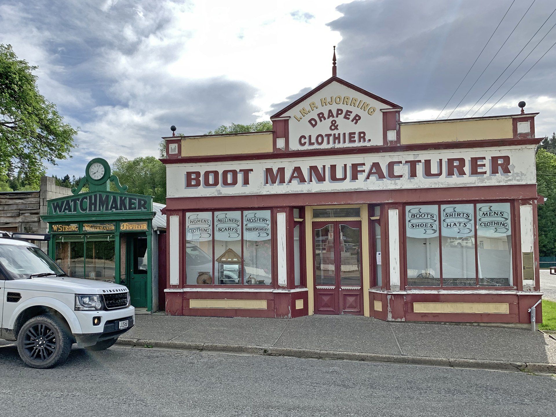
CENTRAL OTAGO
TWO DAY PRIVATE 4WD EXPEDITION
Queenstown · Cromwell · Clyde · St Bathans · Naseby · Danseys Pass · Oteake
This is not a drive along the highway with a picnic stop.
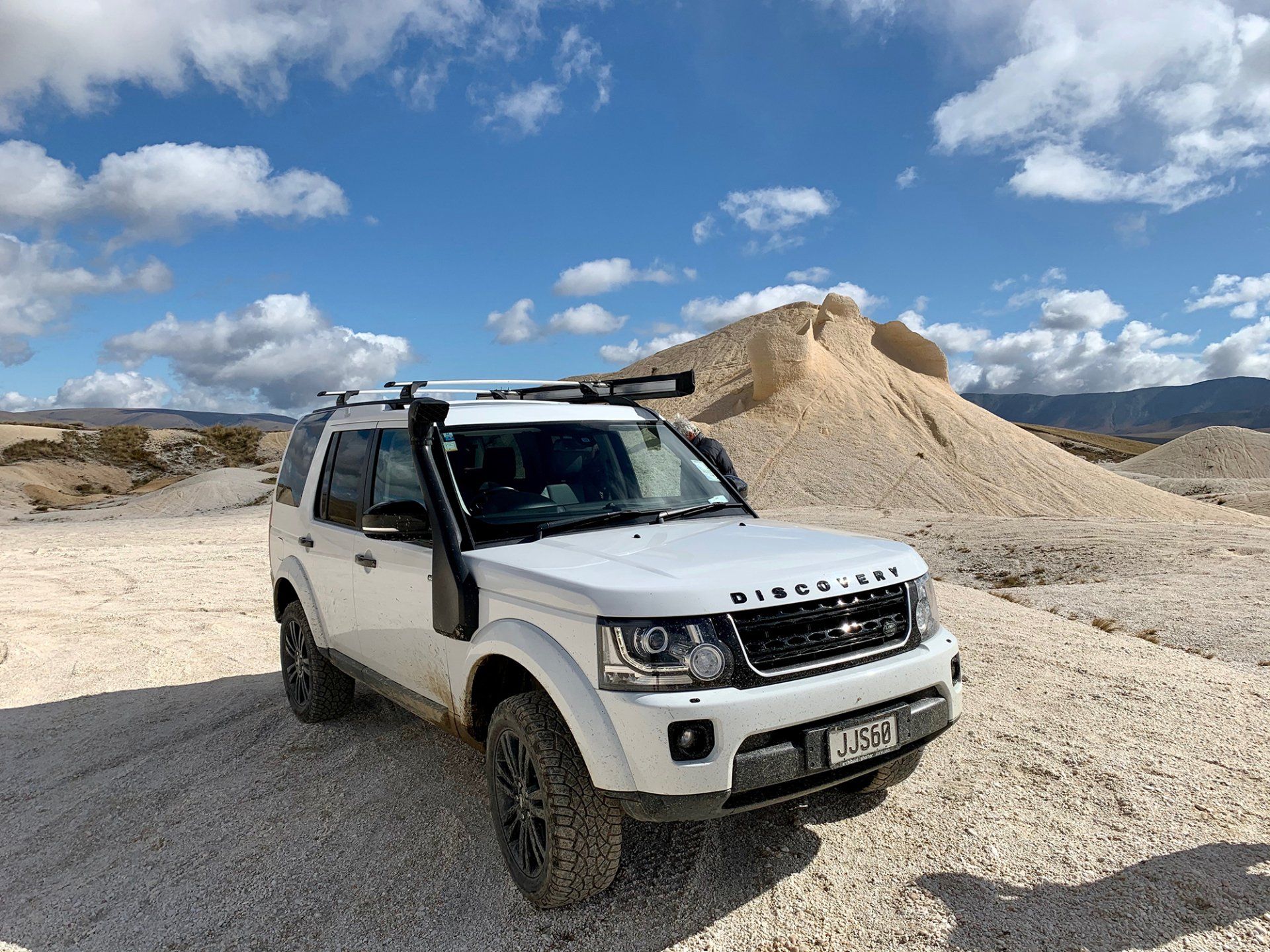
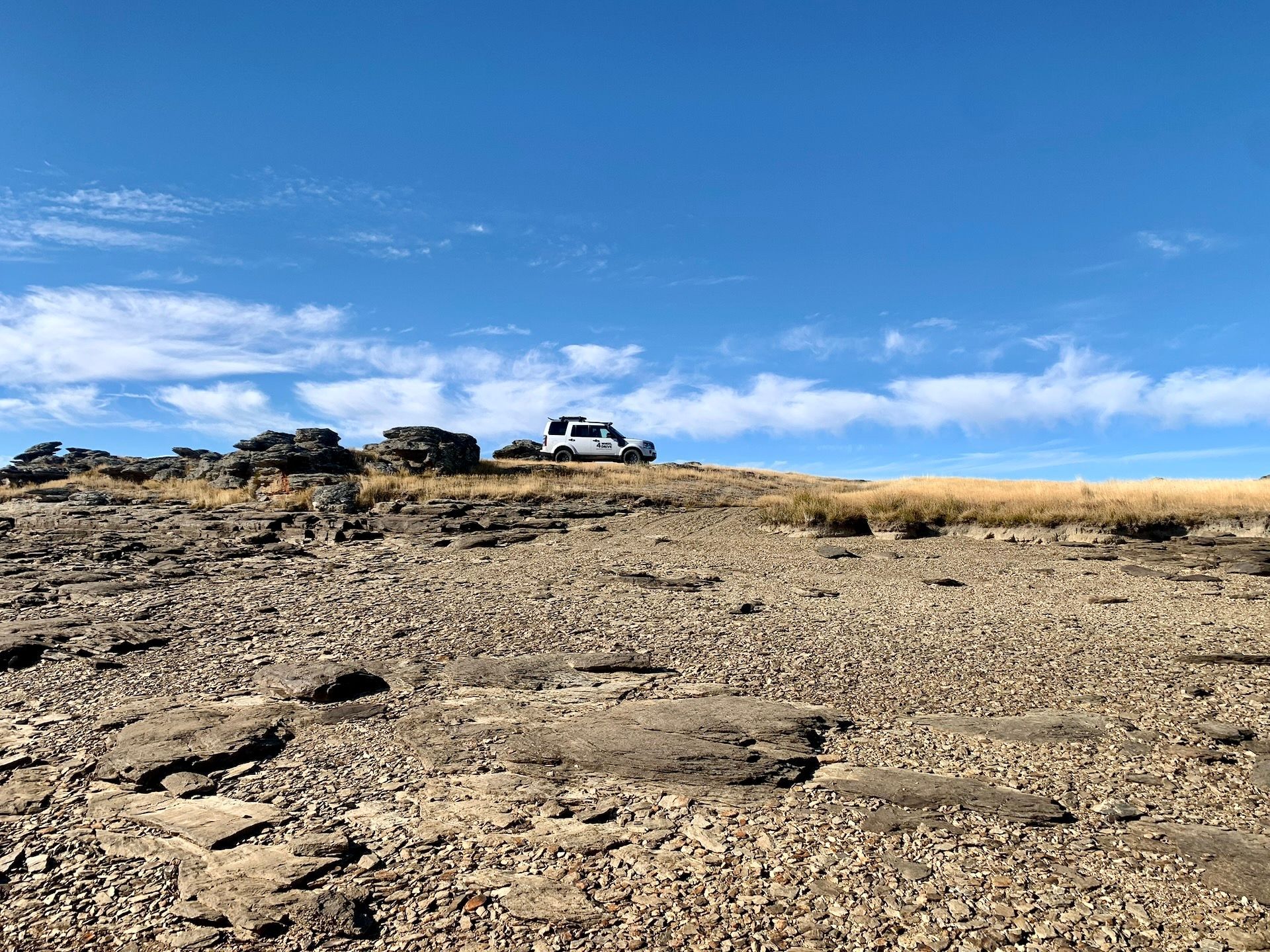
This is two days in the old gold country — schist, tussock, empty valleys and the roads most people never find. You travel private, max four guests, in an expedition 4WD with Del. We use the sealed roads only when we have to. The rest of the time we are on the tracks that built Central Otago.
Why this trip exists
Central Otago is the driest, oldest-feeling part of the South Island. Gold rushed through it in the 1860s and left towns that almost vanished. Clyde still has the stone main street. St Bathans still has the Blue Lake they dug out of a hill, and a mud-brick pub that may not be entirely empty after dark. Naseby was once 4,000 miners and fourteen hotels. We go there properly — not a look from the car park. Into the ranges. Onto the old pack tracks. Onto DOC 4WD country in Oteake if the weather and the group are up for it.
Photography is built into the day. We stop for the light, not the timetable.
Del has been guiding 4WD in this part of the country for 35+ years. Private only. No buses. No shared vans.
DAY 1 — GOLD TOWNS AND THE MANIOTOTO
Queenstown to Naseby
Picked up from Queenstown. Out through the Kawarau and into the Cromwell basin — fruit country now, a gold river then. Short stop if you want the lake and the old town.
Clyde is the first real pause. Stone buildings, the Clyde Dam story, the gorge, the old main street that still looks like a gold town that decided to stay. Time on foot. Time for photographs.
Then we leave the easy road.
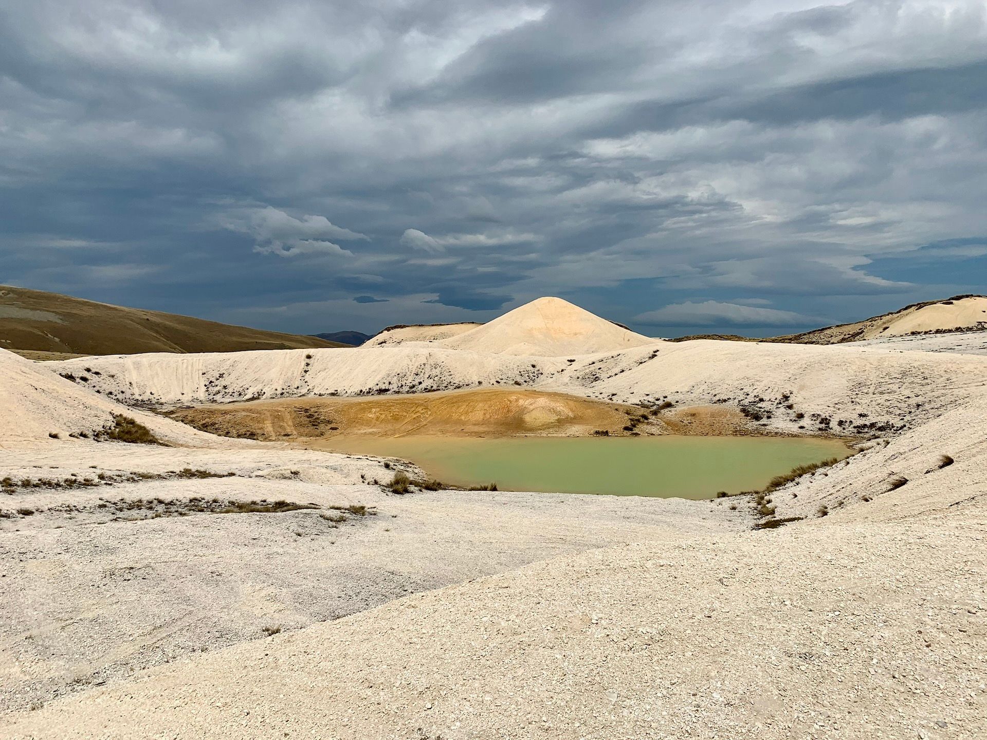
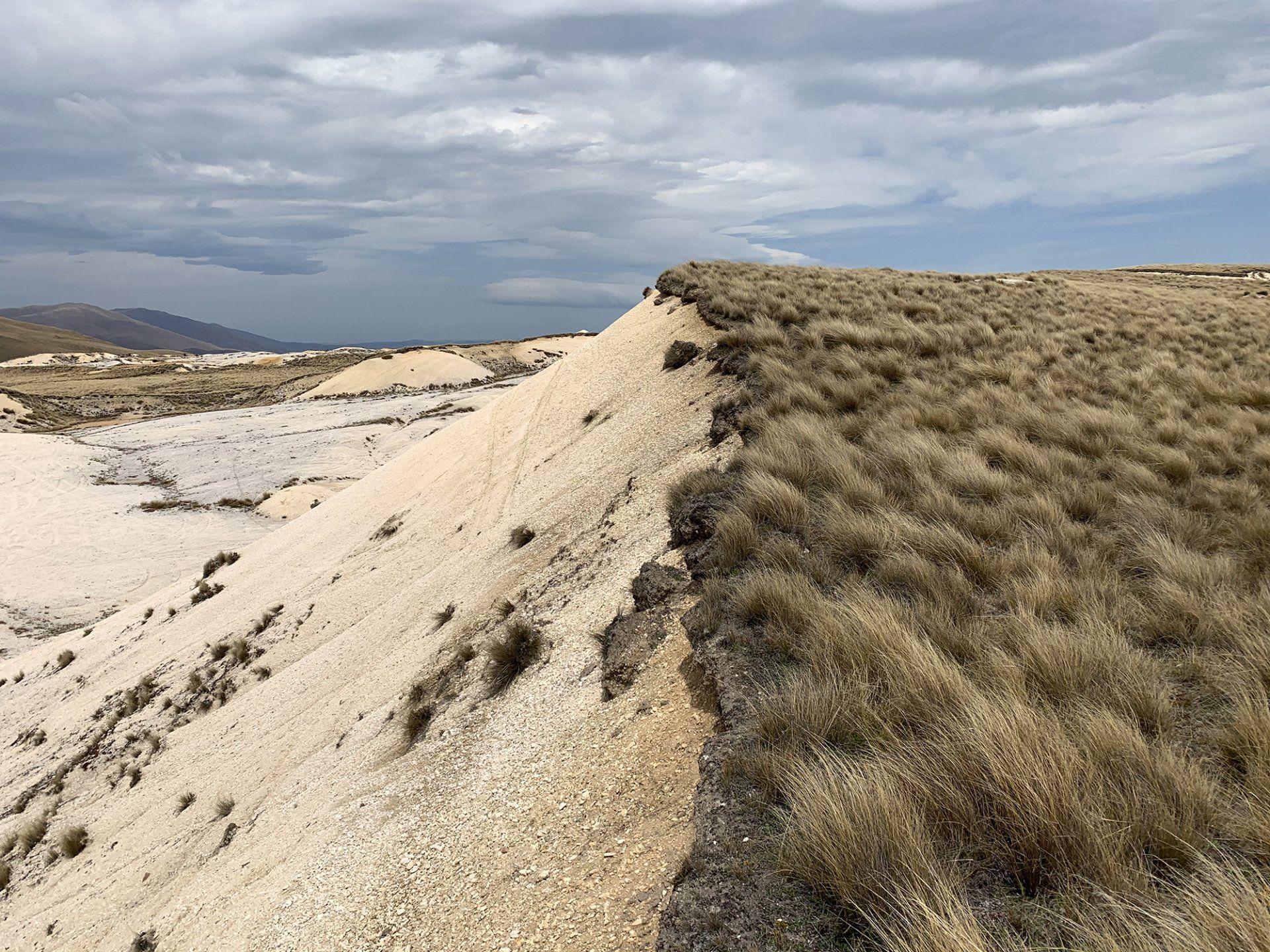
North into the Manuherikia and up to St Bathans. Blue Lake is a hole the miners sluiced out of a hill and the water filled — white cliffs, that strange mineral blue, one of the best still frames in Central. In the 1860s this place had thirteen pubs. Almost all of them are gone.
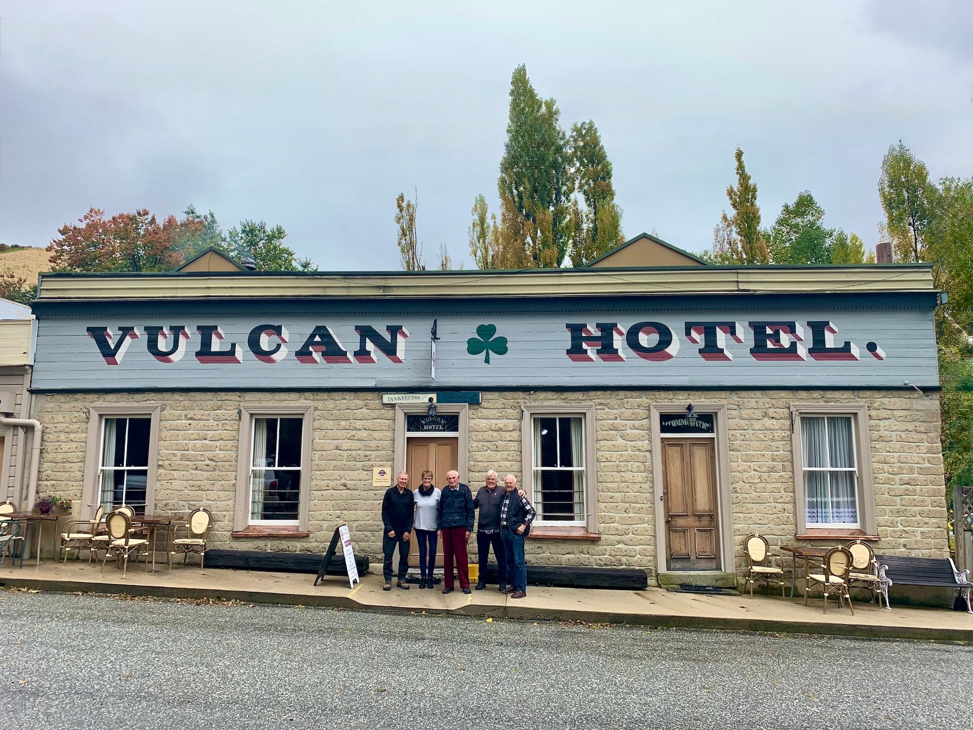
What remains is the Vulcan Hotel — Category I historic, mud brick, false front, built in 1882 as the Ballarat and later given the Vulcan name when the original Vulcan burned. It is the heart of what is left of the street.
And then there is Rosie.
They say Room 1 is haunted by a young woman known as the Rose — an itinerant worker from the gold days, found strangled in the front room in the 1880s. The killer was never caught. The story has been on television, in the papers, and in every second conversation at the bar. Guests talk of lights, footsteps, a sudden cold in a sunlit room, a figure at the end of the bed. The tale is that she only bothers the men. Whether you believe a word of it is your business. Standing in that street, with Blue Lake behind you and the pub leaning into the wind, the story fits the place. We give it time.
Across to Naseby for the night.
Gold was found in the Hogburn in May 1863. Within months there were 2,000 miners; by Christmas, 4,000. They called it Parkers, then Hogburn, then Mt Ida, then Naseby. Eighteen stores. Fourteen hotels. A hospital, a courthouse, banks, churches. The first gold escort out of here carried 4,300 ounces. Sluicing tore the hills apart. Then the railway went through Ranfurly instead, twelve kilometres away, and the town that was meant to run the Maniototo was left in the trees. That is why it still looks like itself. About 120 people live here year-round. In summer the cribs fill and it briefly feels like the rush again.
We stay at Naseby, with dinner at the Royal Hotel (or similar) — open since 1863, one of the first three pubs in town. Cobb & Co used it as the Naseby depot. Storm wrecked the first building; they rebuilt in 1865, then threw up a proper wing in 1879 with kauri ceilings and twelve bedrooms. Heritage New Zealand lists it Category 2. False front on the street, old pub behind it, fire in the bar.
Overnight: Naseby
Included: morning tea, picnic lunch, dinner, breakfast
DAY 2 — DANSEYS PASS, THE HIGH COUNTRY & HOME THE LONG WAY
Naseby to Queenstown
Morning in Naseby if you want it — village, trees, the old street — then gravel.
Danseys Pass Road is the point of the day. Narrow, historic, built for coaches and miners, still one of the finest 4WD approaches in the south. The pass is named for William Heywood Dansey, who crossed it in the 1850s looking for land.
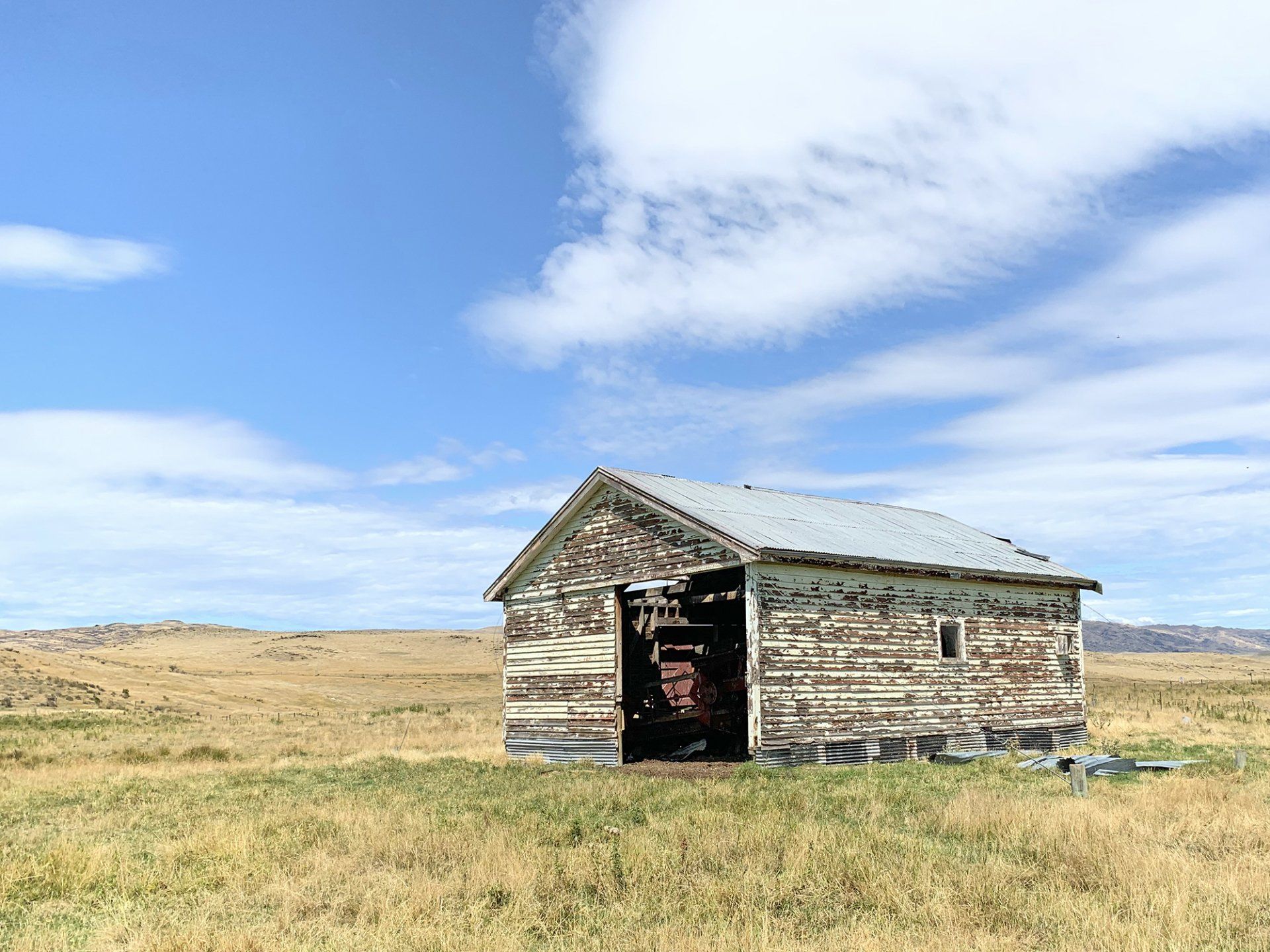
The Danseys Pass Hotel has been sitting in the Kyeburn Diggings since 1862. A mason they called Happy Bill laid the schist — paid in beer, one pint per shaped stone. Legend has it he had such a good day on the wall that he fell into an open grave in the cemetery and slept the night there. Around him was a town of 2,000. Three hotels, stores, a butchery, a bakery, and six unlicensed grog shanties the paper complained about. Chinese workings in the cuttings behind the pub. Teamsters and wagon trains between the Waitaki and the Central fields used it as the coach stop. Mount Buster gold was eight miles away. Almost all of that town is gone — clumps of trees, a wall, the cemetery. The hotel is what is left, at about 2,000 feet, fire going, same job it had in 1862. We give it time.
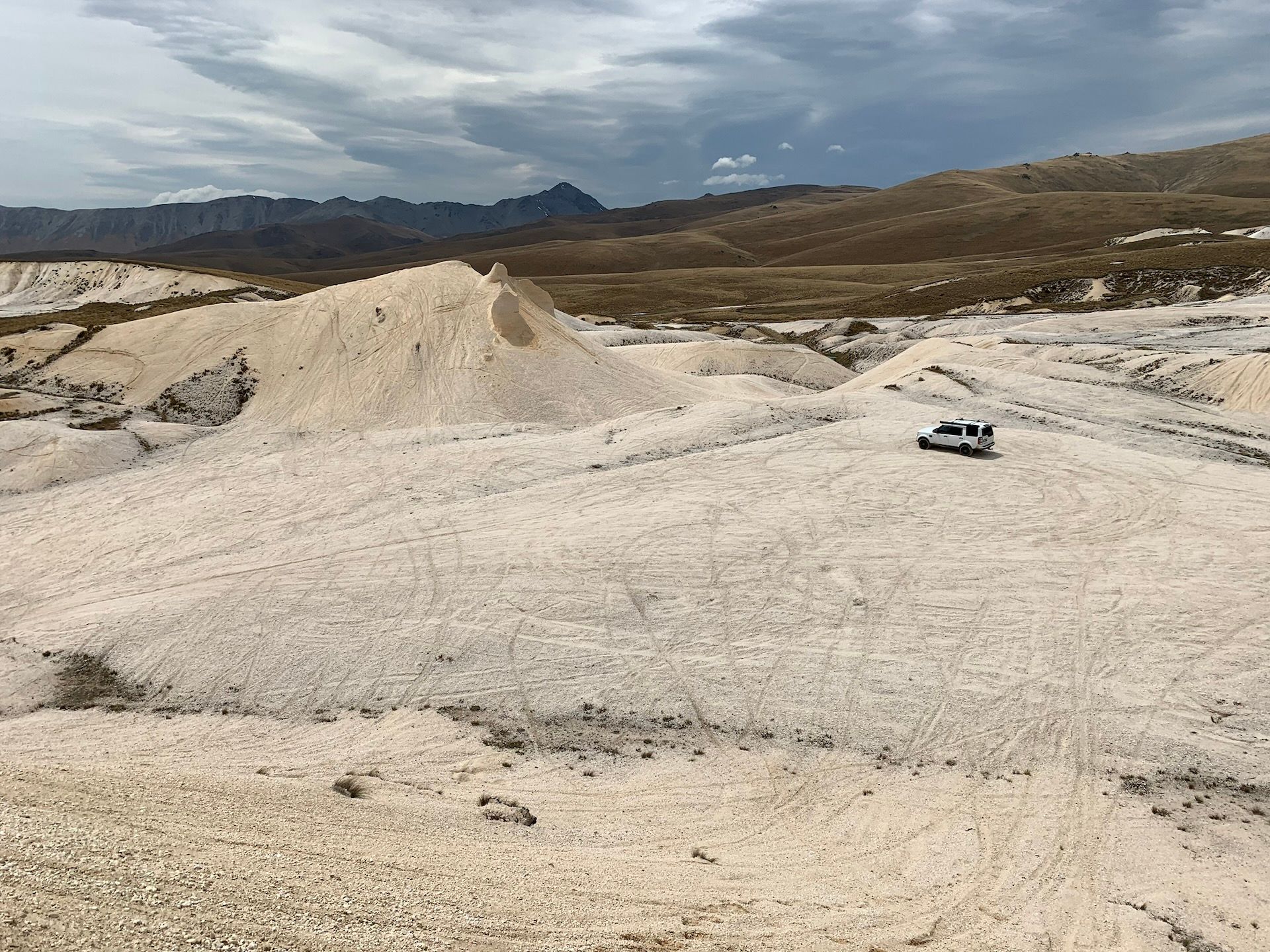
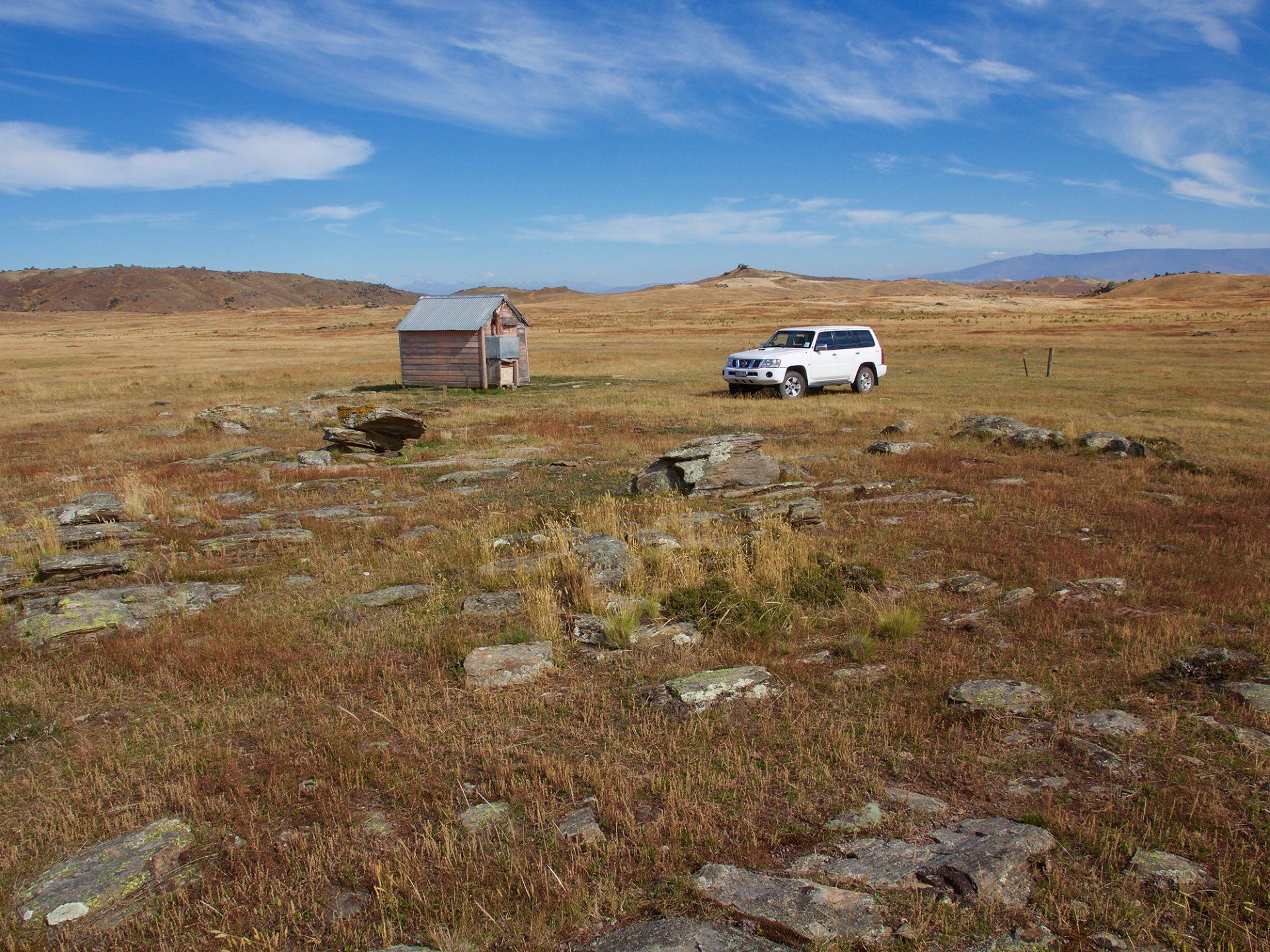
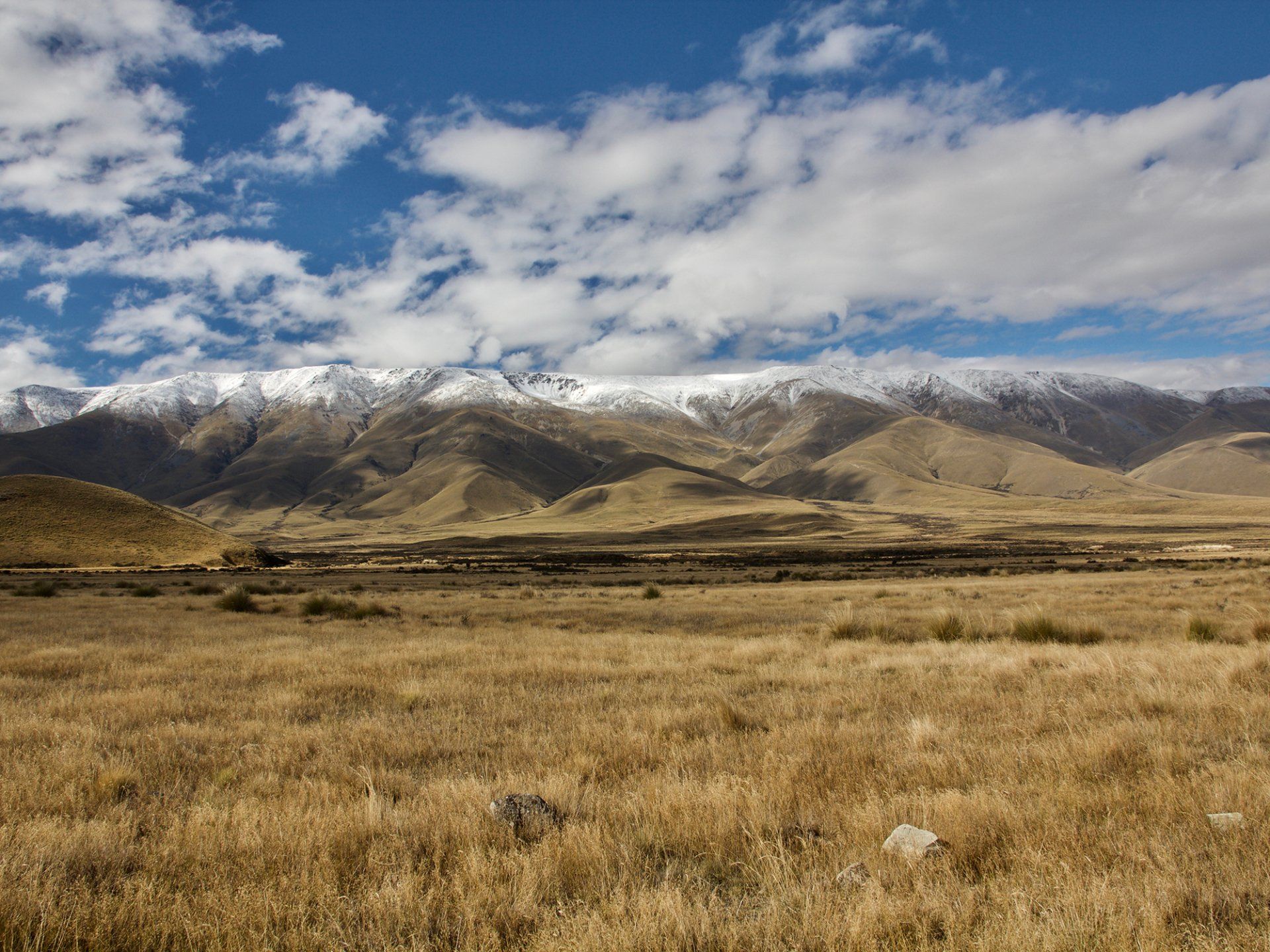
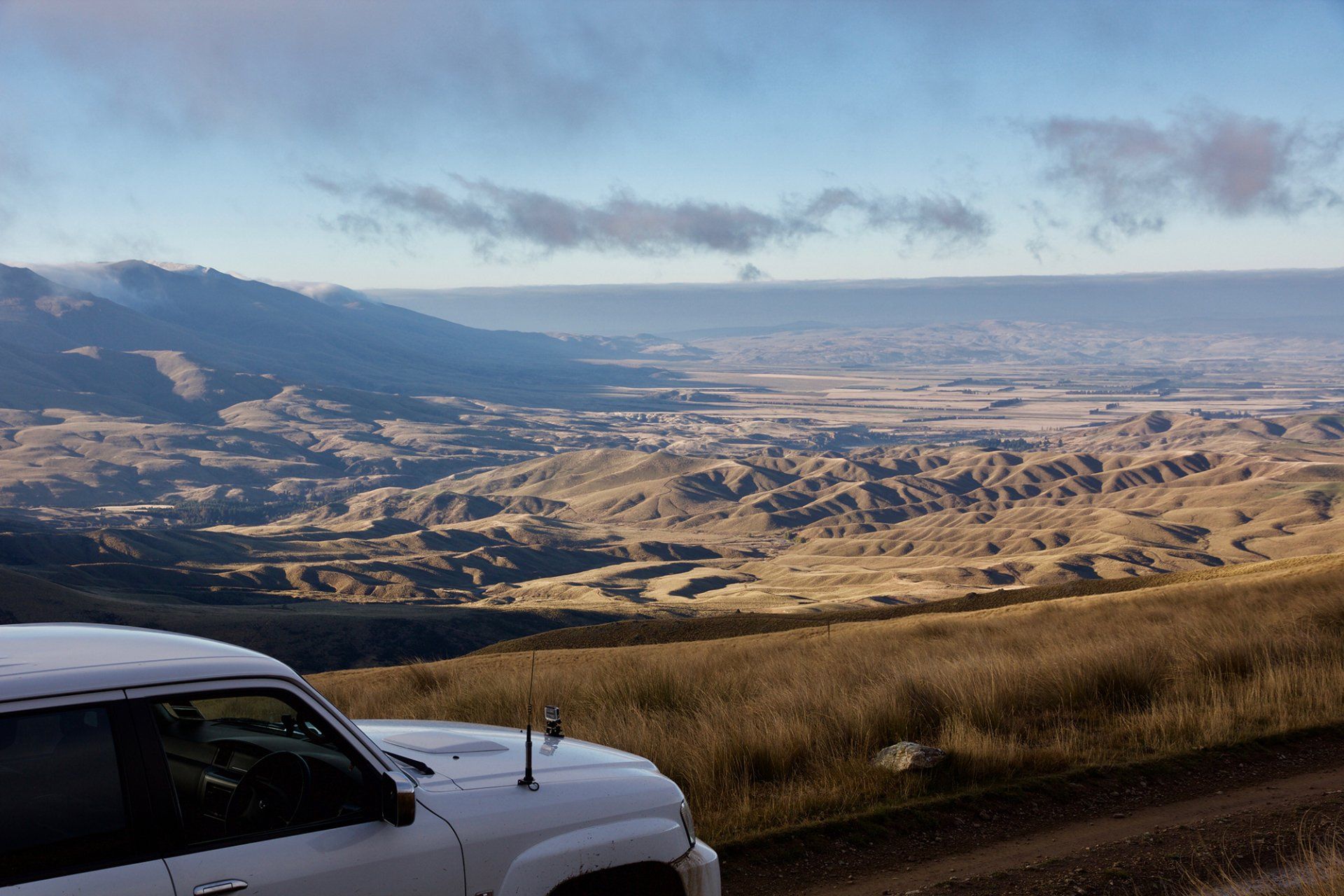
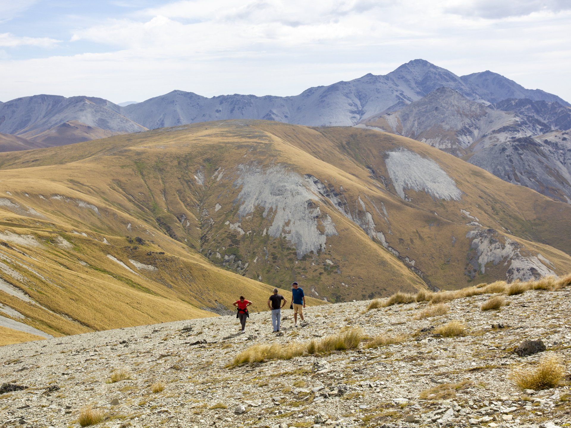
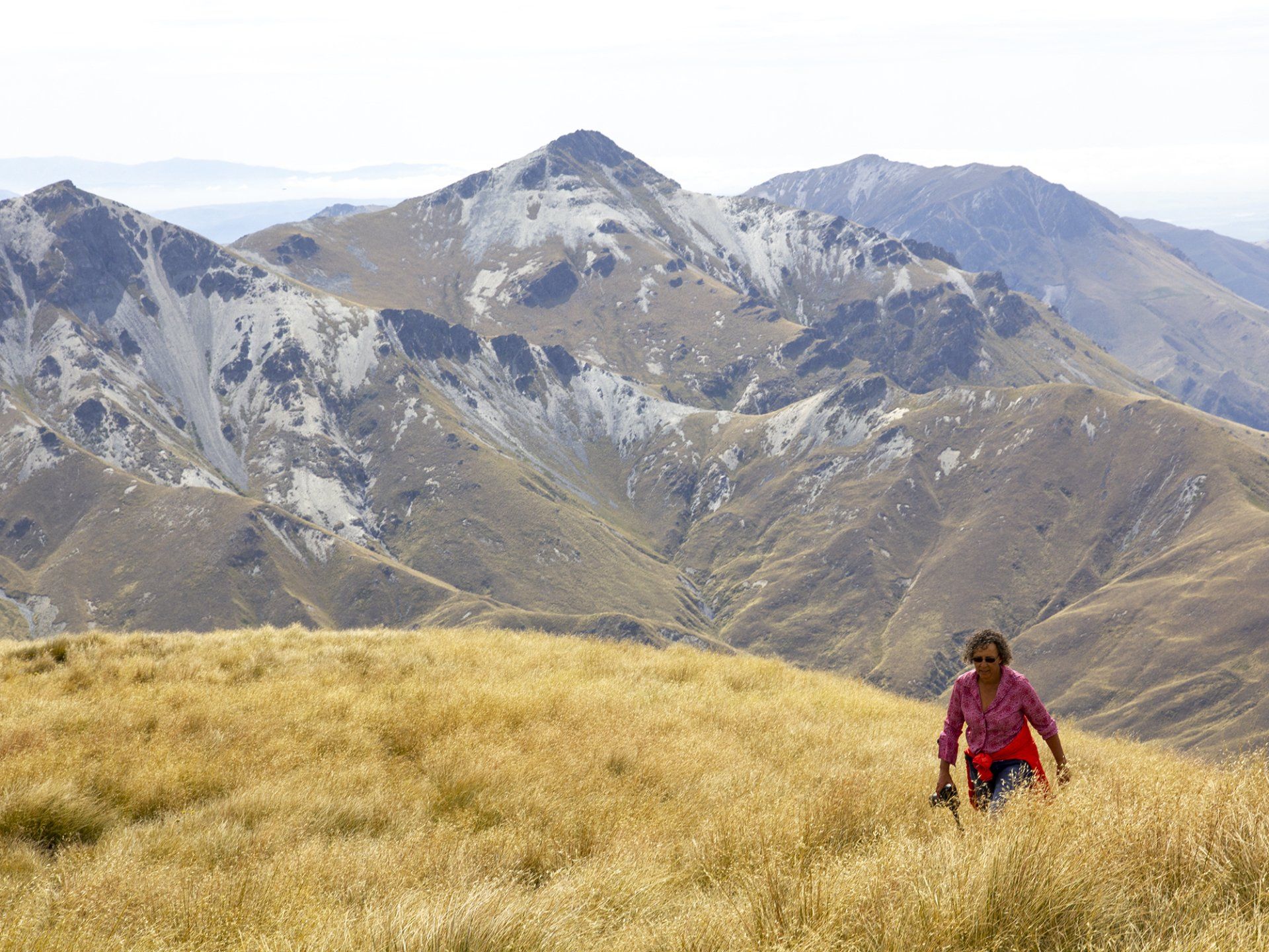
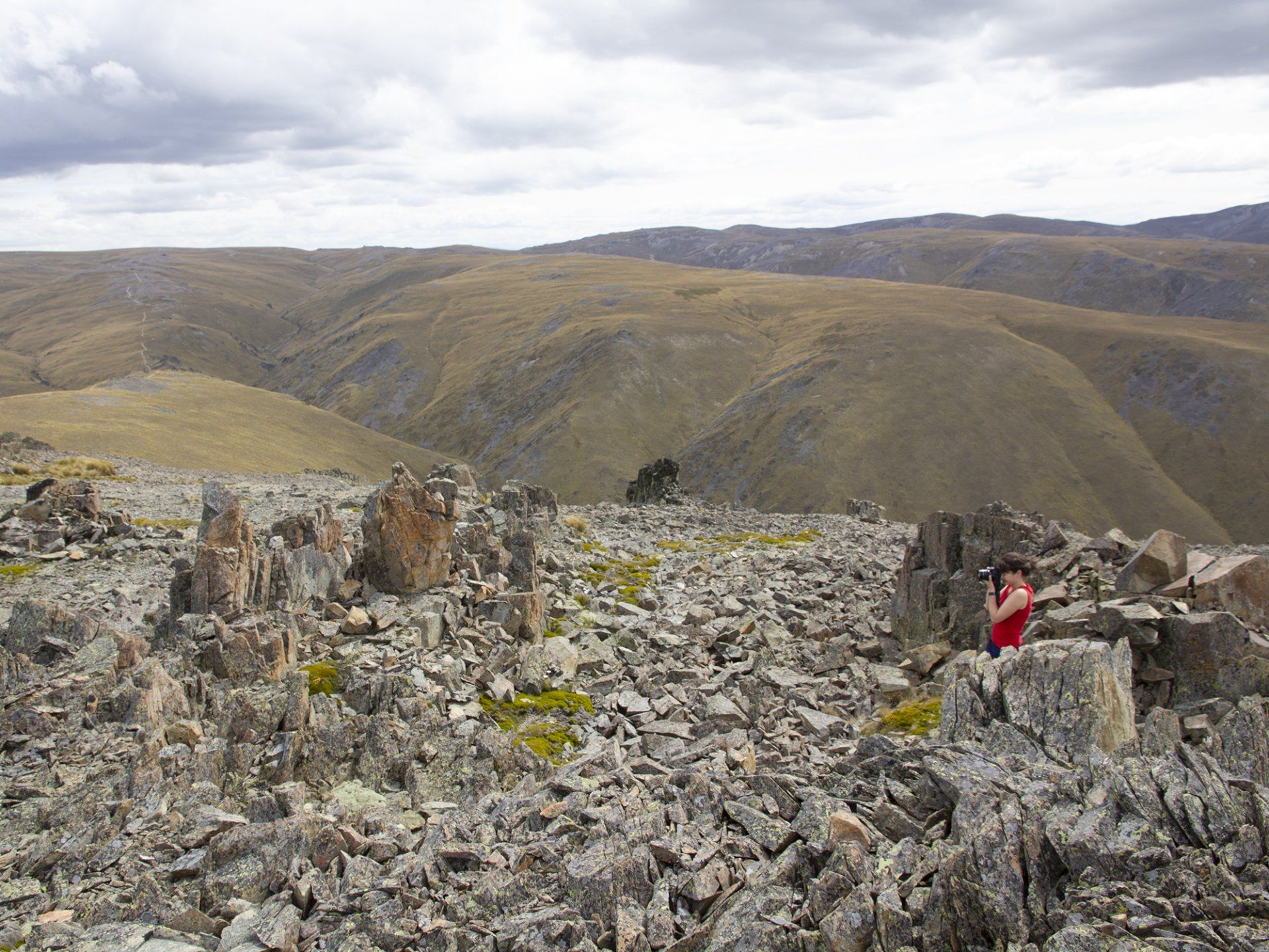
From here the country opens into Oteake — 65,000 hectares of tussock, scree, old diggings and 4WD tracks. Mt Kyeburn, Buster country, Hawkdun faces if conditions allow. This is not a lookout stop. This is driving the park.
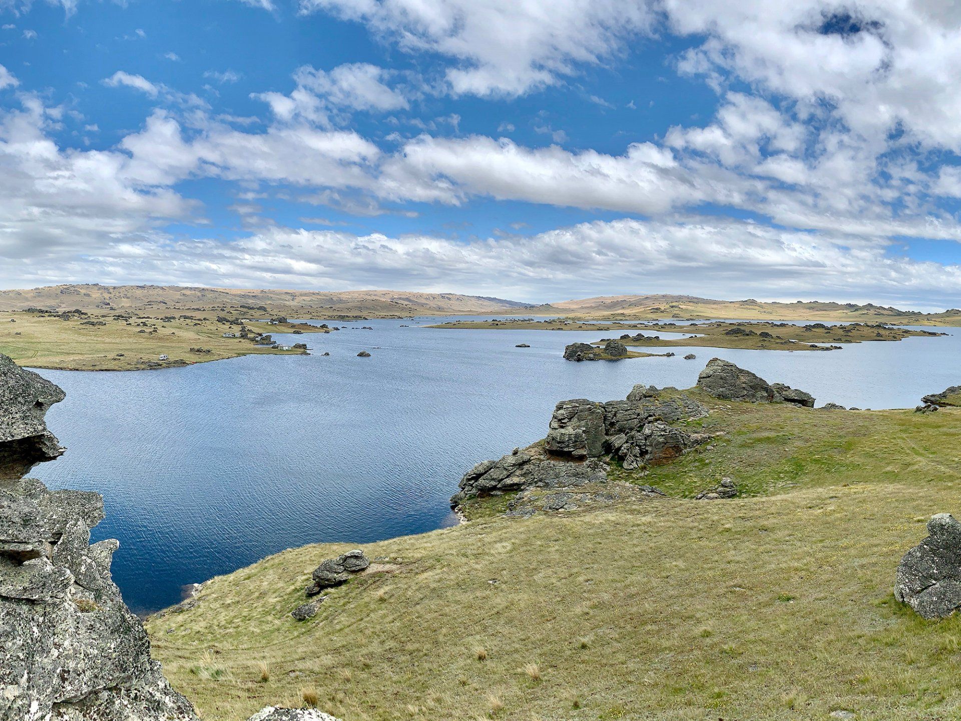
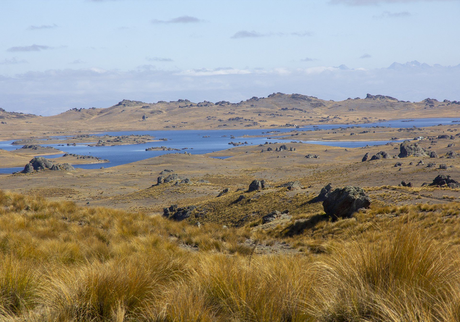
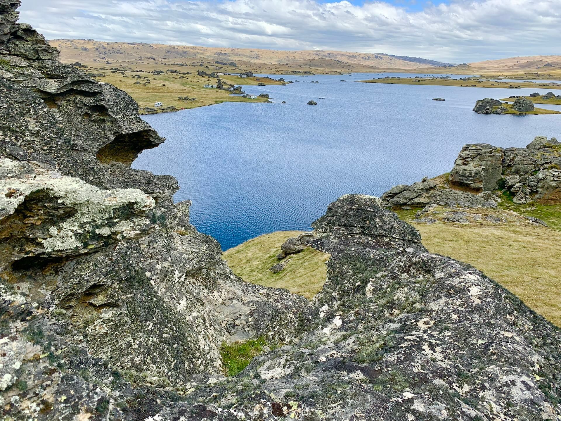
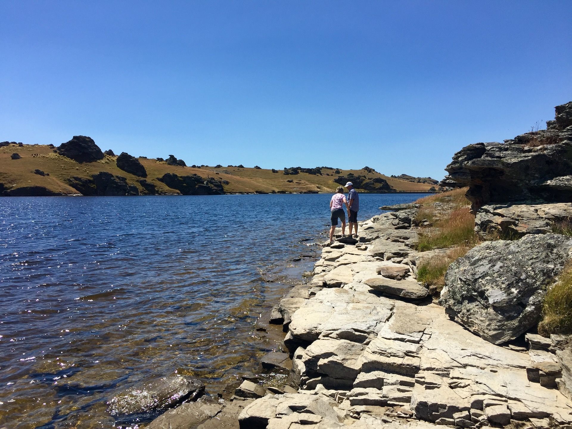
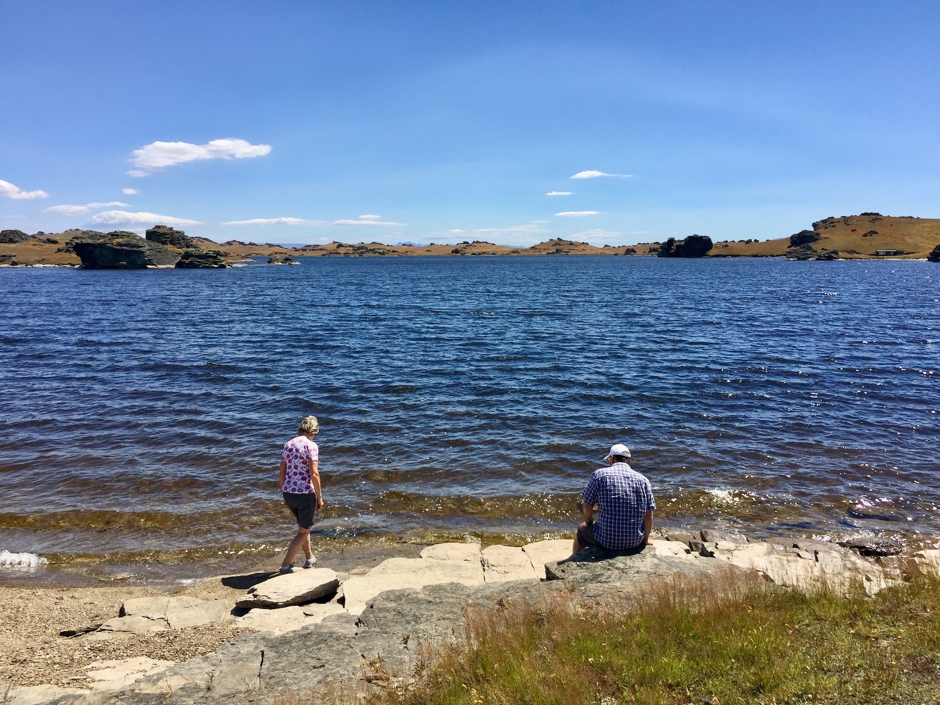
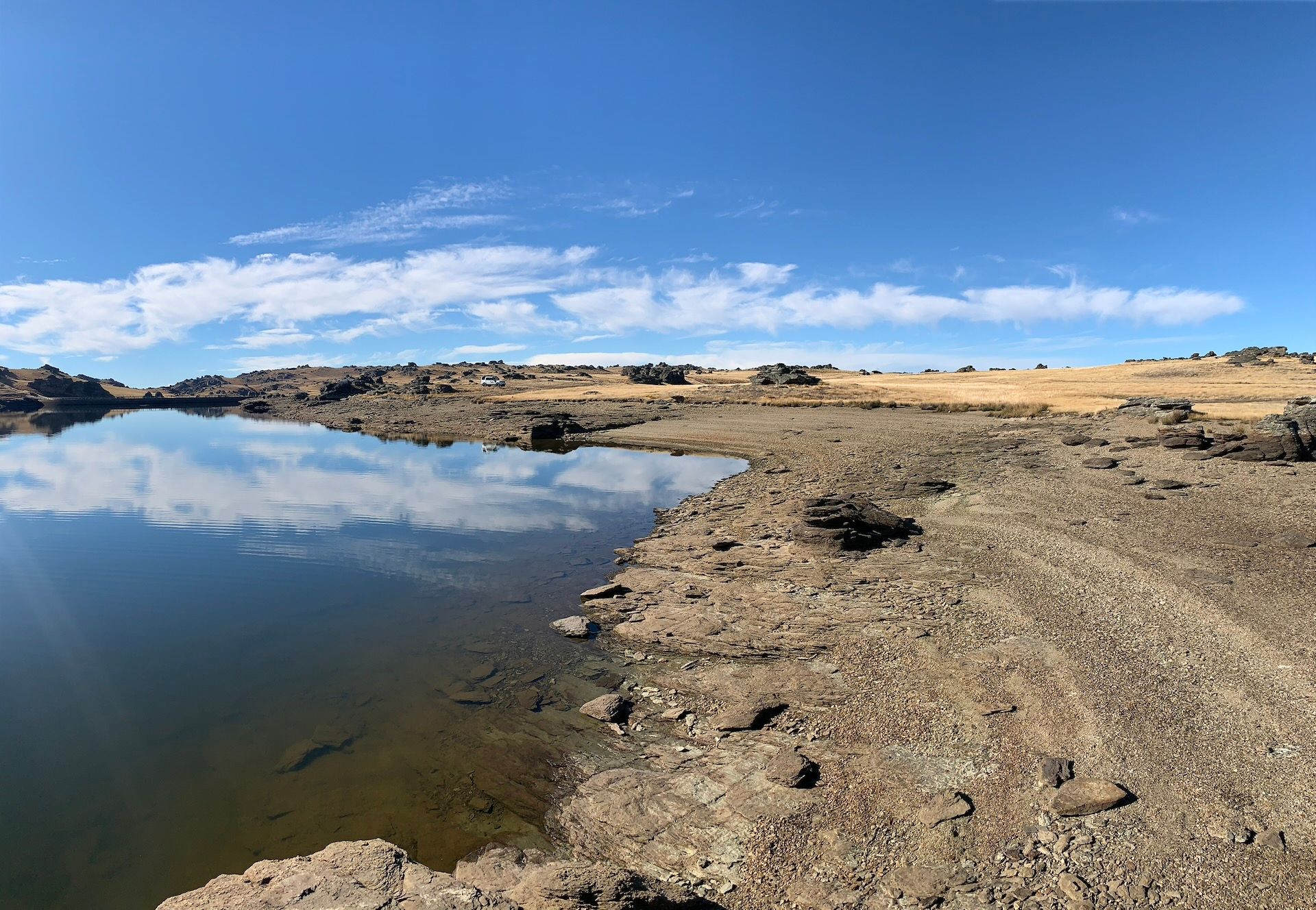
If the group wants the rock-and-water version instead, we can swing the return through Poolburn Reservoir — Old Dunstan Road, tors, the dam they used in Lord of the Rings. Weather and road openings decide that on the day. You will not do both in full and still get home sane. We pick the better day.
Home via the Ida Valley, Ophir, Omakau, Clyde and Cromwell. Queenstown late afternoon.
If the line home is through the Ida Valley, we can stop at Historic Hayes, Oturehua — the mud-brick workshop where Ernest Hayes built the wire strainer still hanging on Kiwi farms.
Included: morning tea, picnic lunch
Who this is for
People who want Central Otago off the postcard. History you can stand in. A pub that might have a ghost. Photographs that are not the same as everyone else’s. A 4WD that is actually used as a 4WD.
Good for couples, families, and photographers. Not good if you want to stay on the tar and be back for a 3pm wine tasting.
THE FINE PRINT THAT MATTERS
- Private charter — your group only
- Maximum 4 guests
- Expedition 4WD, Queenstown pickup and drop-off
- Two days, one night Naseby
- Morning tea and picnic lunch both days
- Dinner and breakfast in Naseby
- Del guiding throughout
Not included: drinks at the bar, extra hotel nights, Poolburn as well as a full Oteake day (one or the other on Day 2).
Danseys Pass and Oteake are weather and road dependent. Winter can close the pass. Old Dunstan to Poolburn is closed June–September. We run the best line the country will give us that day.
Personal travel and medical insurance is highly recommended.
This journey uses gravel and high-country roads; weather and track conditions can change the day.
What is Central Otago
CENTRAL OTAGO
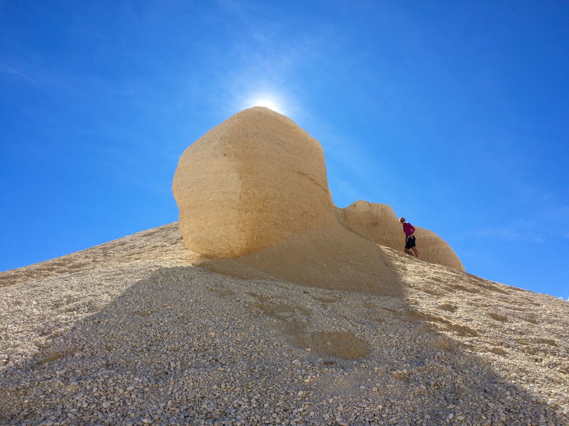
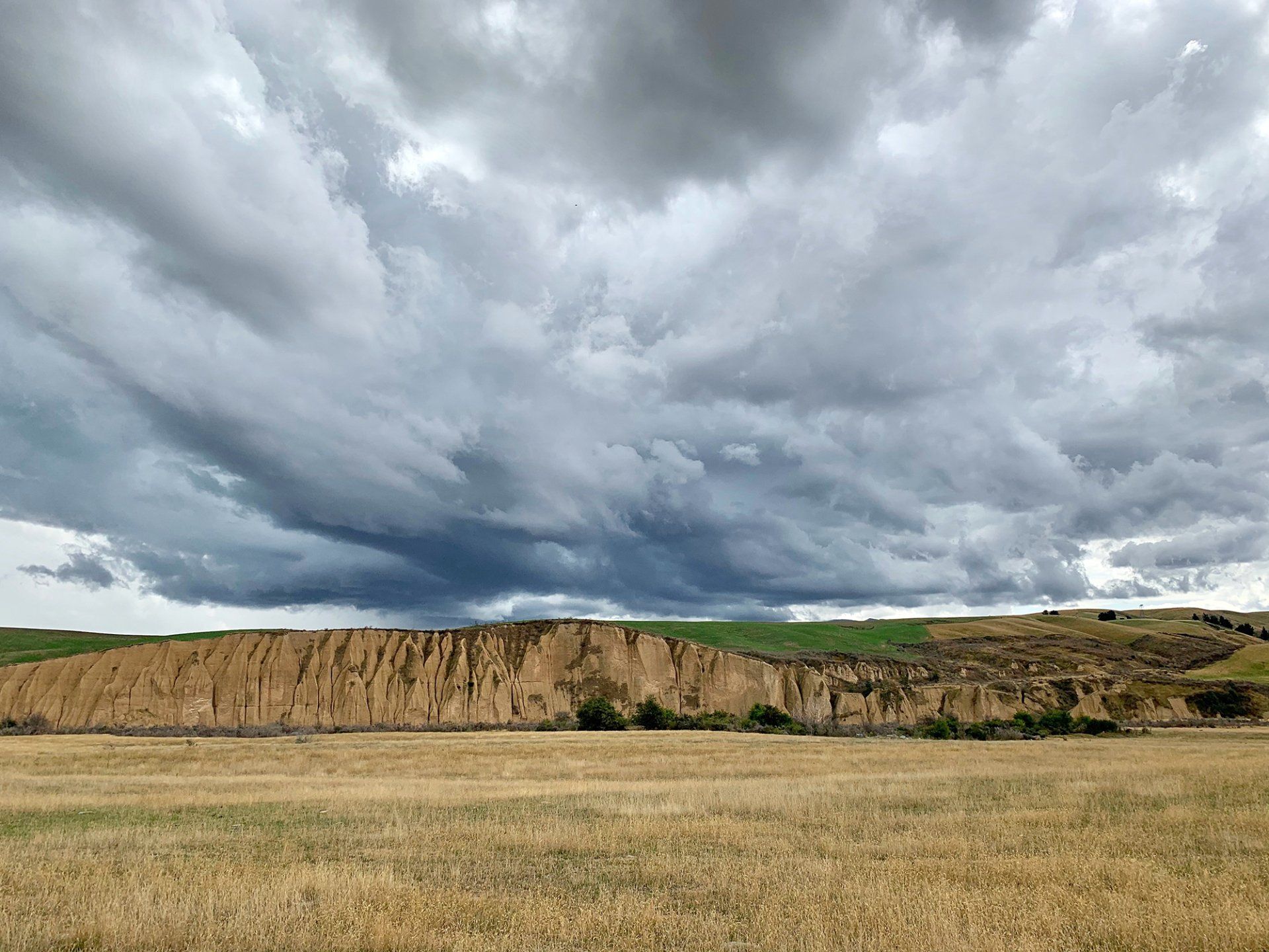
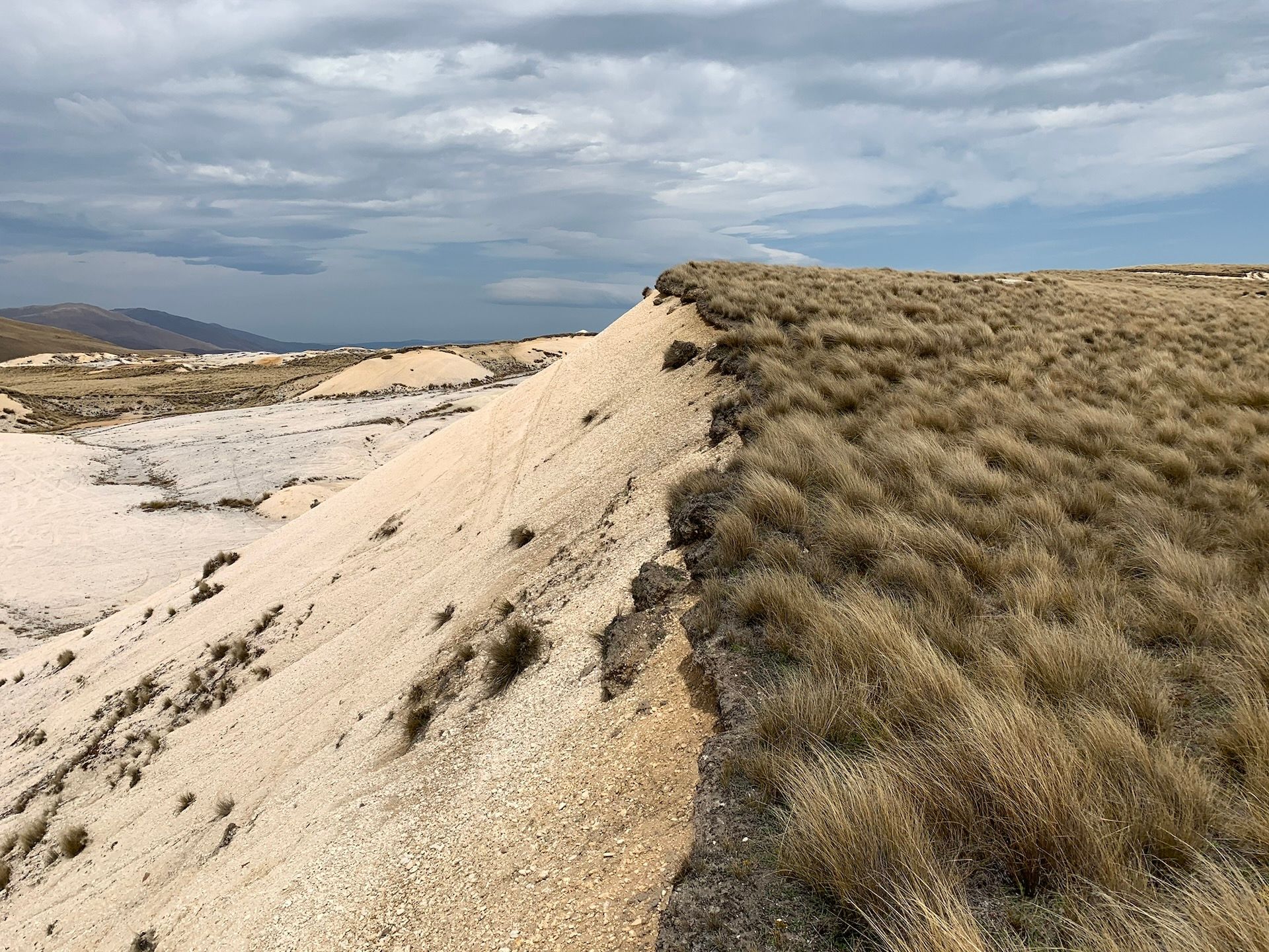
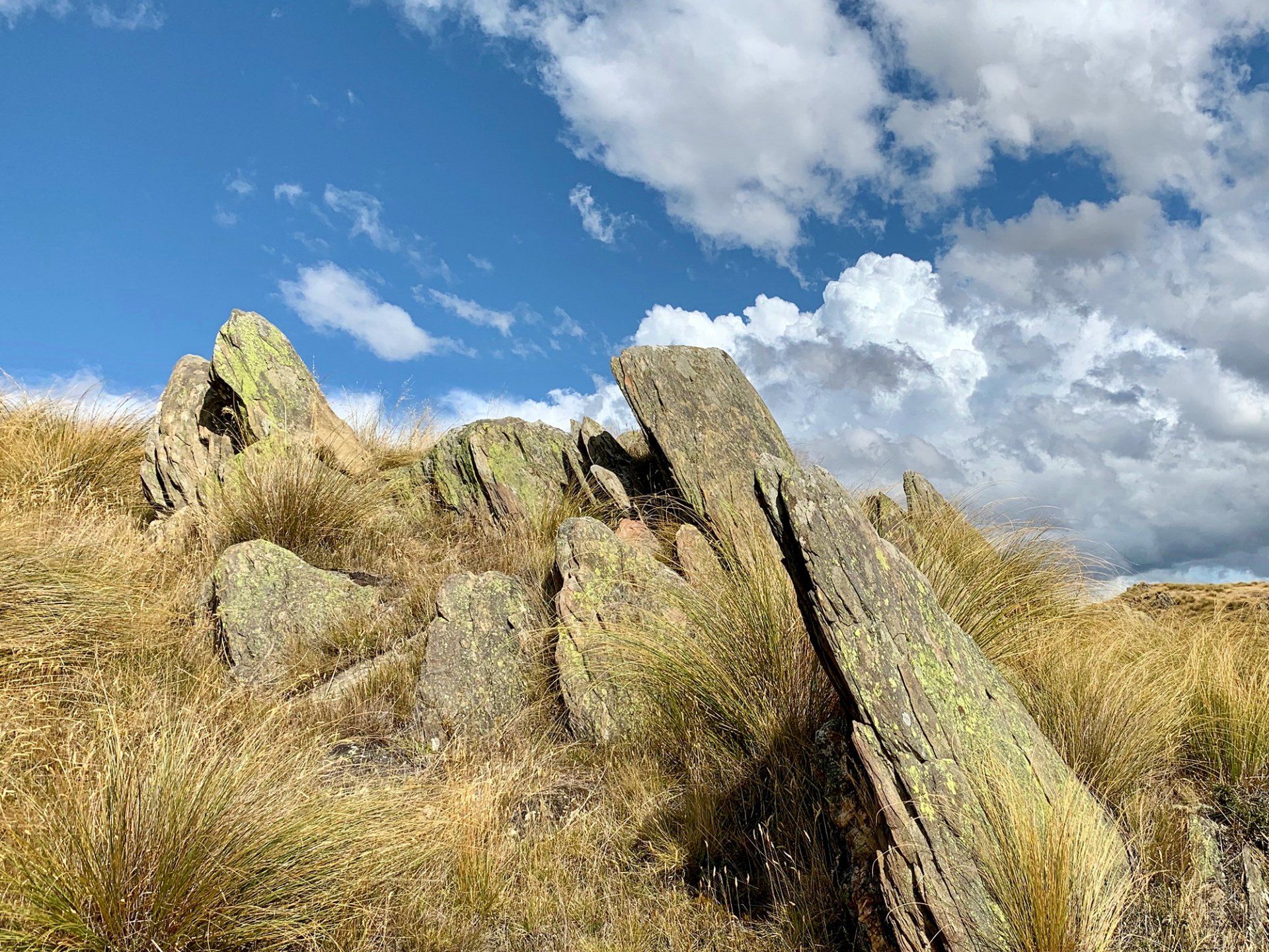
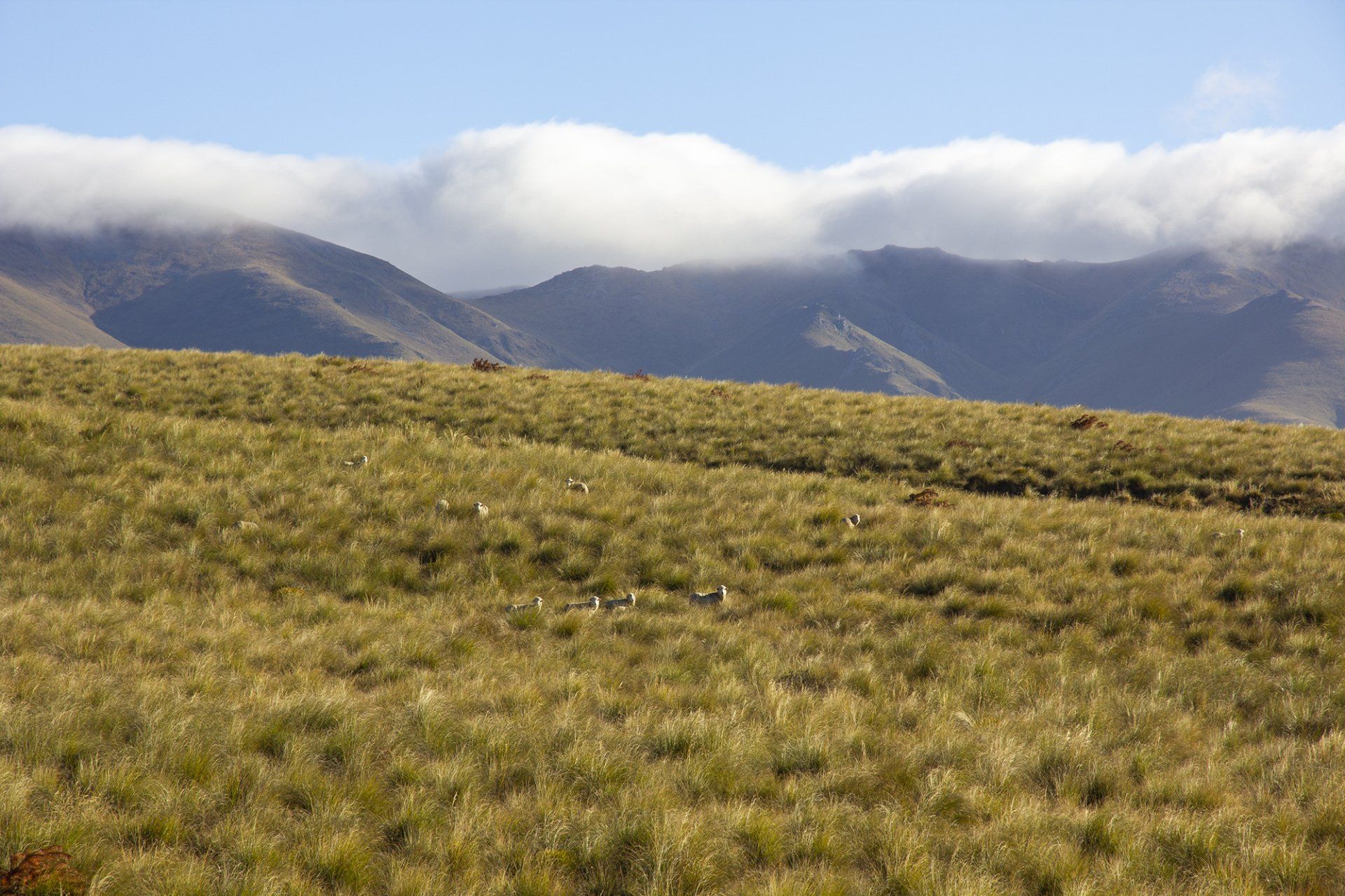
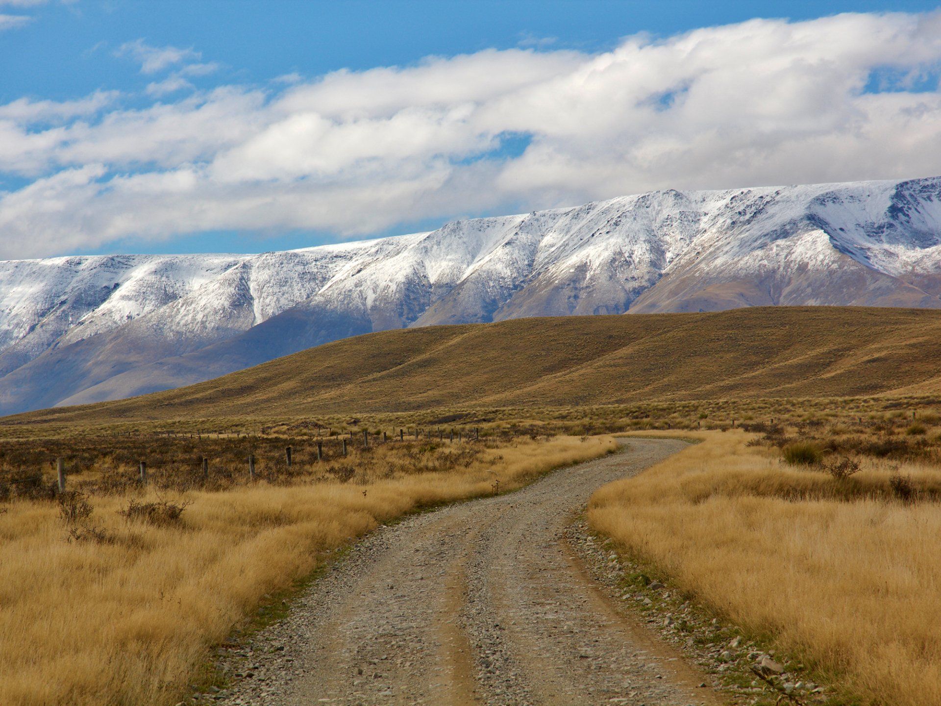
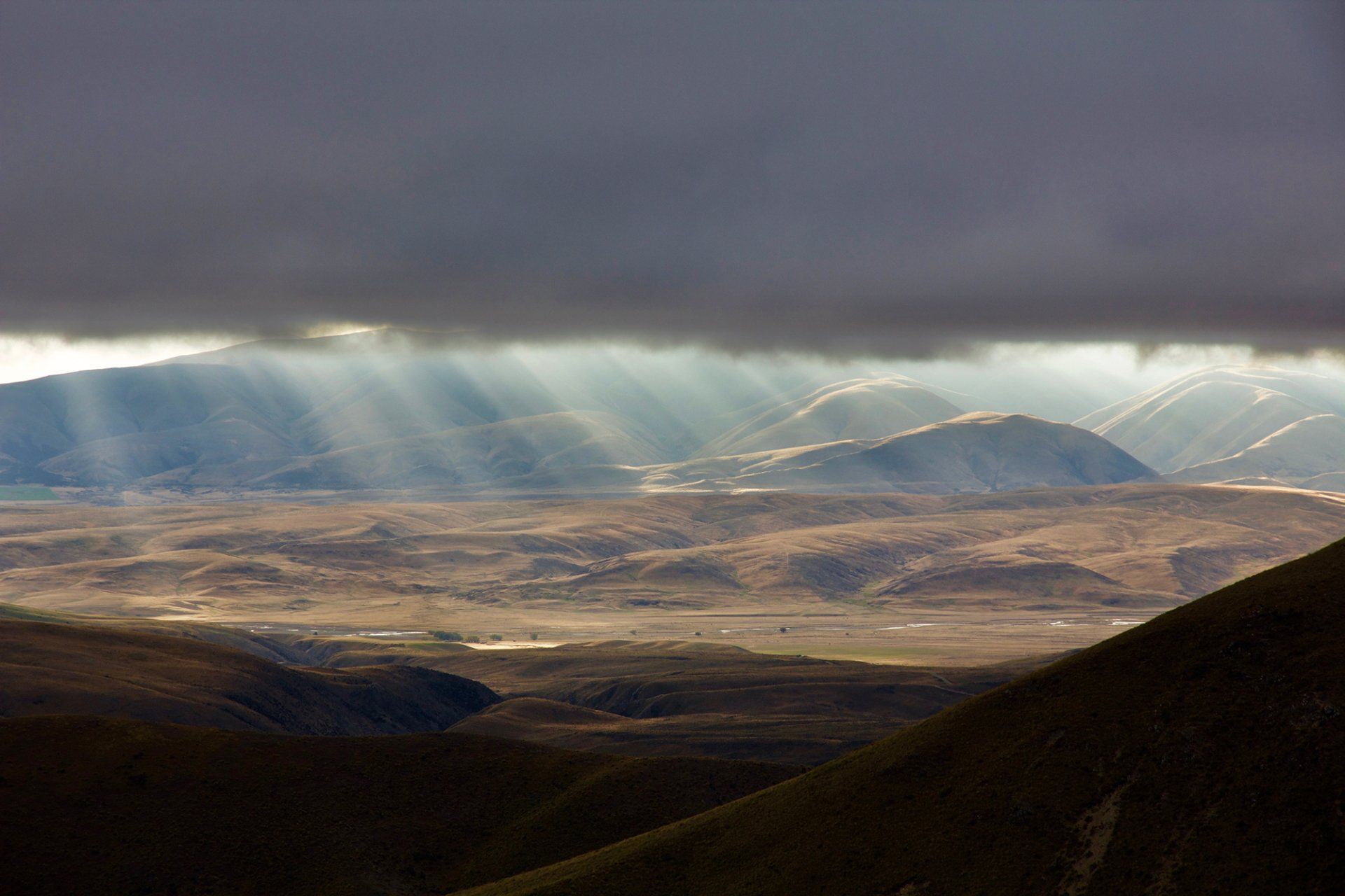
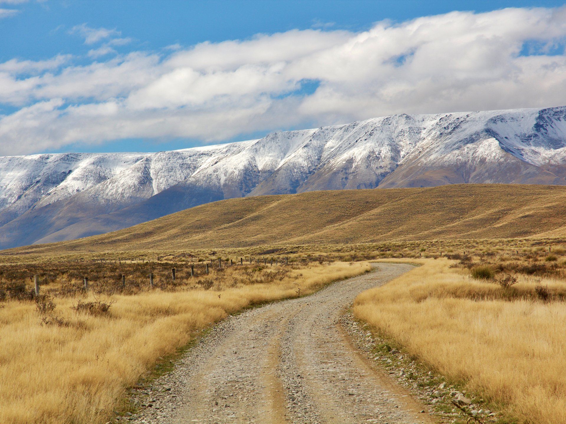
Big sky, dry air, and country that doesn’t pretend to be anywhere else. Central sits in the rain shadow of the Southern Alps — New Zealand’s hottest summers, hardest winters, and some of the clearest light you’ll ever point a camera at. Schist tors, golden tussock, flat-topped ranges and stone towns that still look like the 1860s. Gold built it. Fruit and pinot kept it. The high country never really left. This is the landscape painters and photographers chase: empty roads, long shadows, and weather that changes the whole scene in ten minutes.
Lake Manuherikia
LAKE MANUHERIKIA & THE ST BATHANS FOSSILS
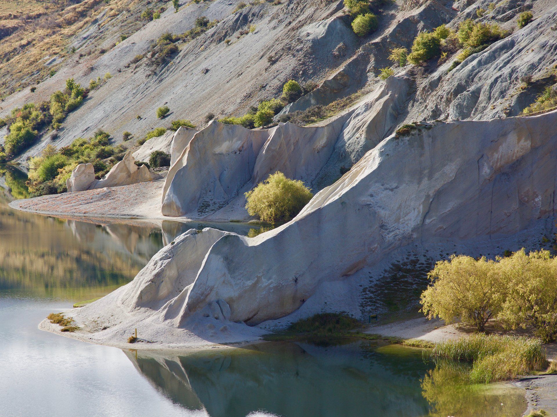
Before the gold towns, before the tussock, there was a lake. Around 19–16 million years ago, Lake Manuherikia covered much of inland Otago — a shallow freshwater sea nearly ten times the size of Taupō. The climate was warmer. Crocodiles lived here. So did turtles, early bats, a tiny ancestral kiwi (Proapteryx), early moa, and a swarm of waterbirds.
When the lake shrank, it left the Bannockburn Formation — the beds now exposed around St Bathans and the Manuherikia River. Since the early 2000s those layers have given up New Zealand’s richest pre-ice-age land fauna: fish by the thousand, a crocodile up to three metres long, and creatures that don’t exist here anymore. Stand on the Blue Lake track and you’re looking at two histories at once — a gold hole in the foreground, and a vanished subtropical lake under your boots.
Gold rush
THE CENTRAL OTAGO GOLD RUSH
It started properly in May 1861 when Gabriel Read found gold “shining like the stars in Orion” at Gabriel’s Gully. Otago’s population exploded. Then in August 1862 Hartley and Reilly walked into Dunedin with about 40 kilograms of Clutha gold and the Dunstan rush was on — tent cities at Clyde, Cromwell and Alexandra, then Arrow, Shotover, Naseby and St Bathans.
At the peak some 24,000 men were on the fields. Easy river gold ran out. Hydraulic sluicing took the hills apart. Kildare Hill at St Bathans was cut down into the hole that became the Blue Lake. Chinese miners worked the tailings after the first wave moved on. Most of the canvas towns vanished. The stone ones didn’t — Clyde, St Bathans, Naseby, the Danseys Pass Hotel. The rush lasted only a few hard years. The country it left behind is what we drive through now.
Historic Hayes Engineering Works
What it is
Heritage NZ Category 1. Mud-brick workshop and homestead of Ernest and Hannah Hayes — millwright from Warwickshire who ended up at Rough Ridge (Oturehua) in the 1880s.
This is the No. 8 wire story, not another gold hole:
- Started making farm gear in the 1890s
- Famous for the Hayes wire strainer (refined through to 1924 — still sold worldwide)
- Also windmills, cattle stops, rabbit-bait cutters, fence gear
- Workshop first run off a big windmill (~1910), then a water wheel (1927) — belts, pulleys, shafts still there
- Hannah sold the tools on a bicycle as far as the Lindis
- Trust bought it in 1975. Still looks like they knocked off for smoko
If the line home is through the Ida Valley, we can stop at Historic Hayes, Oturehua — the mud-brick workshop where Ernest Hayes built the wire strainer still hanging on Kiwi farms.
Disclaimer ⚠
TOUR SPECIFIC
Disclaimer
This is a private 4WD journey on a mix of sealed road, gravel and high-country tracks. Conditions change. Snow, ice, high water, fire risk or DOC closures can alter or cancel sections of Day 2, including Danseys Pass, Oteake and the Old Dunstan Road.
The itinerary is a guide, not a guarantee of every stop. Your guide will choose the safe, worthwhile line on the day.
A reasonable level of fitness is required for short walks and getting in and out of the vehicle. Not suitable if you need a sealed-road-only day.
Booking is for the vehicle. Price includes GST. Standard cancellation terms apply as per our booking conditions.
Personal travel and medical insurance is highly recommended. This journey uses gravel and high-country roads; weather and track conditions can change the day.
SAFETY COMPLIANCE
4WD Expeditions maintains a robust safety management system, meticulously aligning with the MBIE Safety Audit Standard for Adventure Activities. Our formal certification under AdventureMark® underscores our unwavering dedication to prioritizing the safety and well-being of our clients. Our commitment to continuous improvement is evident through regular reviews by AdventureMark® to ensure ongoing compliance with the established safety standard.
IMPORTANT
Any off road / back country driving can lead to unexpected incidents. This can include but is not limited to - accidents, injuries, vehicle damage, property damage & loss of life.
RISKS FROM NATURAL HAZARDS
4WD Expeditions actively monitors all tours for natural hazards including but not limited to the following.
Weather, Storms, Lightening, High winds, Landslip, Snow avalanche, Ice, Rockfall, Flooding, Wildfires.
4WD Expeditions reserve the right to delay or cancel any tours or activities if weather conditions are not suitable.
Tour Information
CENTRAL OTAGO
TWO DAY PRIVATE 4WD EXPEDITION
Queenstown · Cromwell · Clyde · St Bathans · Naseby · Danseys Pass · Oteake
This is not a drive along the highway with a picnic stop.
This is two days in the old gold country — schist, tussock, empty valleys and the roads most people never find. You travel private, max four guests, in an expedition 4WD with Del. We use the sealed roads only when we have to. The rest of the time we are on the tracks that built Central Otago.
Why this trip exists
Central Otago is the driest, oldest-feeling part of the South Island. Gold rushed through it in the 1860s and left towns that almost vanished. Clyde still has the stone main street. St Bathans still has the Blue Lake they dug out of a hill, and a mud-brick pub that may not be entirely empty after dark. Naseby was once 4,000 miners and fourteen hotels. We go there properly — not a look from the car park. Into the ranges. Onto the old pack tracks. Onto DOC 4WD country in Oteake if the weather and the group are up for it.
Photography is built into the day. We stop for the light, not the timetable.
Del has been guiding 4WD in this part of the country for 35+ years. Private only. No buses. No shared vans.
DAY 1 — GOLD TOWNS AND THE MANIOTOTO
Queenstown to Naseby
Picked up from Queenstown. Out through the Kawarau and into the Cromwell basin — fruit country now, a gold river then. Short stop if you want the lake and the old town.
Clyde is the first real pause. Stone buildings, the Clyde Dam story, the gorge, the old main street that still looks like a gold town that decided to stay. Time on foot. Time for photographs.
Then we leave the easy road.
North into the Manuherikia and up to St Bathans. Blue Lake is a hole the miners sluiced out of a hill and the water filled — white cliffs, that strange mineral blue, one of the best still frames in Central. In the 1860s this place had thirteen pubs. Almost all of them are gone.
What remains is the Vulcan Hotel — Category I historic, mud brick, false front, built in 1882 as the Ballarat and later given the Vulcan name when the original Vulcan burned. It is the heart of what is left of the street.
And then there is Rosie.
They say Room 1 is haunted by a young woman known as the Rose — an itinerant worker from the gold days, found strangled in the front room in the 1880s. The killer was never caught. The story has been on television, in the papers, and in every second conversation at the bar. Guests talk of lights, footsteps, a sudden cold in a sunlit room, a figure at the end of the bed. The tale is that she only bothers the men. Whether you believe a word of it is your business. Standing in that street, with Blue Lake behind you and the pub leaning into the wind, the story fits the place. We give it time.
Across to Naseby for the night.
Gold was found in the Hogburn in May 1863. Within months there were 2,000 miners; by Christmas, 4,000. They called it Parkers, then Hogburn, then Mt Ida, then Naseby. Eighteen stores. Fourteen hotels. A hospital, a courthouse, banks, churches. The first gold escort out of here carried 4,300 ounces. Sluicing tore the hills apart. Then the railway went through Ranfurly instead, twelve kilometres away, and the town that was meant to run the Maniototo was left in the trees. That is why it still looks like itself. About 120 people live here year-round. In summer the cribs fill and it briefly feels like the rush again.
We stay at Naseby, with dinner at the Royal Hotel (or similar) — open since 1863, one of the first three pubs in town. Cobb & Co used it as the Naseby depot. Storm wrecked the first building; they rebuilt in 1865, then threw up a proper wing in 1879 with kauri ceilings and twelve bedrooms. Heritage New Zealand lists it Category 2. False front on the street, old pub behind it, fire in the bar.
Overnight: Naseby
Included: morning tea, picnic lunch, dinner, breakfast
DAY 2 — DANSEYS PASS, THE HIGH COUNTRY & HOME THE LONG WAY
Naseby to Queenstown
Morning in Naseby if you want it — village, trees, the old street — then gravel.
Danseys Pass Road is the point of the day. Narrow, historic, built for coaches and miners, still one of the finest 4WD approaches in the south. The pass is named for William Heywood Dansey, who crossed it in the 1850s looking for land.
The Danseys Pass Hotel has been sitting in the Kyeburn Diggings since 1862. A mason they called Happy Bill laid the schist — paid in beer, one pint per shaped stone. Legend has it he had such a good day on the wall that he fell into an open grave in the cemetery and slept the night there. Around him was a town of 2,000. Three hotels, stores, a butchery, a bakery, and six unlicensed grog shanties the paper complained about. Chinese workings in the cuttings behind the pub. Teamsters and wagon trains between the Waitaki and the Central fields used it as the coach stop. Mount Buster gold was eight miles away. Almost all of that town is gone — clumps of trees, a wall, the cemetery. The hotel is what is left, at about 2,000 feet, fire going, same job it had in 1862. We give it time.
From here the country opens into Oteake — 65,000 hectares of tussock, scree, old diggings and 4WD tracks. Mt Kyeburn, Buster country, Hawkdun faces if conditions allow. This is not a lookout stop. This is driving the park.
If the group wants the rock-and-water version instead, we can swing the return through Poolburn Reservoir — Old Dunstan Road, tors, the dam they used in Lord of the Rings. Weather and road openings decide that on the day. You will not do both in full and still get home sane. We pick the better day.
Home via the Ida Valley, Ophir, Omakau, Clyde and Cromwell. Queenstown late afternoon.
If the line home is through the Ida Valley, we can stop at Historic Hayes, Oturehua — the mud-brick workshop where Ernest Hayes built the wire strainer still hanging on Kiwi farms.
Included: morning tea, picnic lunch
Who this is for
People who want Central Otago off the postcard. History you can stand in. A pub that might have a ghost. Photographs that are not the same as everyone else’s. A 4WD that is actually used as a 4WD.
Good for couples, families, and photographers. Not good if you want to stay on the tar and be back for a 3pm wine tasting.
THE FINE PRINT THAT MATTERS
- Private charter — your group only
- Maximum 4 guests
- Expedition 4WD, Queenstown pickup and drop-off
- Two days, one night Naseby
- Morning tea and picnic lunch both days
- Dinner and breakfast in Naseby
- Del guiding throughout
Not included: drinks at the bar, extra hotel nights, Poolburn as well as a full Oteake day (one or the other on Day 2).
Danseys Pass and Oteake are weather and road dependent. Winter can close the pass. Old Dunstan to Poolburn is closed June–September. We run the best line the country will give us that day.
Personal travel and medical insurance is highly recommended.
This journey uses gravel and high-country roads; weather and track conditions can change the day.
What is Central Otago
CENTRAL OTAGO
Big sky, dry air, and country that doesn’t pretend to be anywhere else. Central sits in the rain shadow of the Southern Alps — New Zealand’s hottest summers, hardest winters, and some of the clearest light you’ll ever point a camera at. Schist tors, golden tussock, flat-topped ranges and stone towns that still look like the 1860s. Gold built it. Fruit and pinot kept it. The high country never really left. This is the landscape painters and photographers chase: empty roads, long shadows, and weather that changes the whole scene in ten minutes.
Lake Manuherikia
LAKE MANUHERIKIA & THE ST BATHANS FOSSILS
Before the gold towns, before the tussock, there was a lake. Around 19–16 million years ago, Lake Manuherikia covered much of inland Otago — a shallow freshwater sea nearly ten times the size of Taupō. The climate was warmer. Crocodiles lived here. So did turtles, early bats, a tiny ancestral kiwi (Proapteryx), early moa, and a swarm of waterbirds.
When the lake shrank, it left the Bannockburn Formation — the beds now exposed around St Bathans and the Manuherikia River. Since the early 2000s those layers have given up New Zealand’s richest pre-ice-age land fauna: fish by the thousand, a crocodile up to three metres long, and creatures that don’t exist here anymore. Stand on the Blue Lake track and you’re looking at two histories at once — a gold hole in the foreground, and a vanished subtropical lake under your boots.
Gold rush
THE CENTRAL OTAGO GOLD RUSH
It started properly in May 1861 when Gabriel Read found gold “shining like the stars in Orion” at Gabriel’s Gully. Otago’s population exploded. Then in August 1862 Hartley and Reilly walked into Dunedin with about 40 kilograms of Clutha gold and the Dunstan rush was on — tent cities at Clyde, Cromwell and Alexandra, then Arrow, Shotover, Naseby and St Bathans.
At the peak some 24,000 men were on the fields. Easy river gold ran out. Hydraulic sluicing took the hills apart. Kildare Hill at St Bathans was cut down into the hole that became the Blue Lake. Chinese miners worked the tailings after the first wave moved on. Most of the canvas towns vanished. The stone ones didn’t — Clyde, St Bathans, Naseby, the Danseys Pass Hotel. The rush lasted only a few hard years. The country it left behind is what we drive through now.
Historic Hayes Engineering Works
What it is
Heritage NZ Category 1. Mud-brick workshop and homestead of Ernest and Hannah Hayes — millwright from Warwickshire who ended up at Rough Ridge (Oturehua) in the 1880s.
This is the No. 8 wire story, not another gold hole:
- Started making farm gear in the 1890s
- Famous for the Hayes wire strainer (refined through to 1924 — still sold worldwide)
- Also windmills, cattle stops, rabbit-bait cutters, fence gear
- Workshop first run off a big windmill (~1910), then a water wheel (1927) — belts, pulleys, shafts still there
- Hannah sold the tools on a bicycle as far as the Lindis
- Trust bought it in 1975. Still looks like they knocked off for smoko
If the line home is through the Ida Valley, we can stop at Historic Hayes, Oturehua — the mud-brick workshop where Ernest Hayes built the wire strainer still hanging on Kiwi farms.
Disclaimer ⚠
TOUR SPECIFIC
Disclaimer
This is a private 4WD journey on a mix of sealed road, gravel and high-country tracks. Conditions change. Snow, ice, high water, fire risk or DOC closures can alter or cancel sections of Day 2, including Danseys Pass, Oteake and the Old Dunstan Road.
The itinerary is a guide, not a guarantee of every stop. Your guide will choose the safe, worthwhile line on the day.
A reasonable level of fitness is required for short walks and getting in and out of the vehicle. Not suitable if you need a sealed-road-only day.
Booking is for the vehicle. Price includes GST. Standard cancellation terms apply as per our booking conditions.
Personal travel and medical insurance is highly recommended. This journey uses gravel and high-country roads; weather and track conditions can change the day.
SAFETY COMPLIANCE
4WD Expeditions maintains a robust safety management system, meticulously aligning with the MBIE Safety Audit Standard for Adventure Activities. Our formal certification under AdventureMark® underscores our unwavering dedication to prioritizing the safety and well-being of our clients. Our commitment to continuous improvement is evident through regular reviews by AdventureMark® to ensure ongoing compliance with the established safety standard.
IMPORTANT
Any off road / back country driving can lead to unexpected incidents. This can include but is not limited to - accidents, injuries, vehicle damage, property damage & loss of life.
RISKS FROM NATURAL HAZARDS
4WD Expeditions actively monitors all tours for natural hazards including but not limited to the following.
Weather, Storms, Lightening, High winds, Landslip, Snow avalanche, Ice, Rockfall, Flooding, Wildfires.
4WD Expeditions reserve the right to delay or cancel any tours or activities if weather conditions are not suitable.